Fast forward one year and all of a sudden I was not so gung ho anymore. I had not been training all year, had a lousy 24 hour race the previous month and it had been raining constantly this year. I was not at all confident that I could attempt a race of this magnitude never mind complete it.
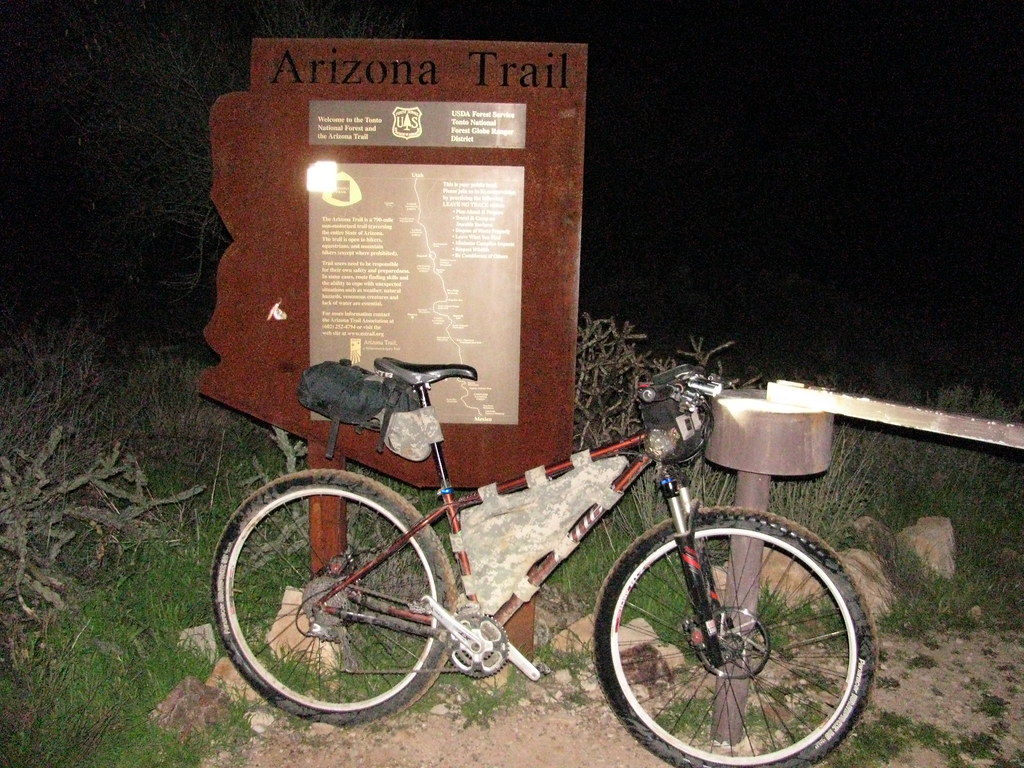
In the end I made a bargain with myself, if the weather was good I would go out and attempt it, and if I attempted it I would ride at least until Tucson. As it turns out the weather was perfect and so I found myself catching a ride with ken to parker lake late thursday night.
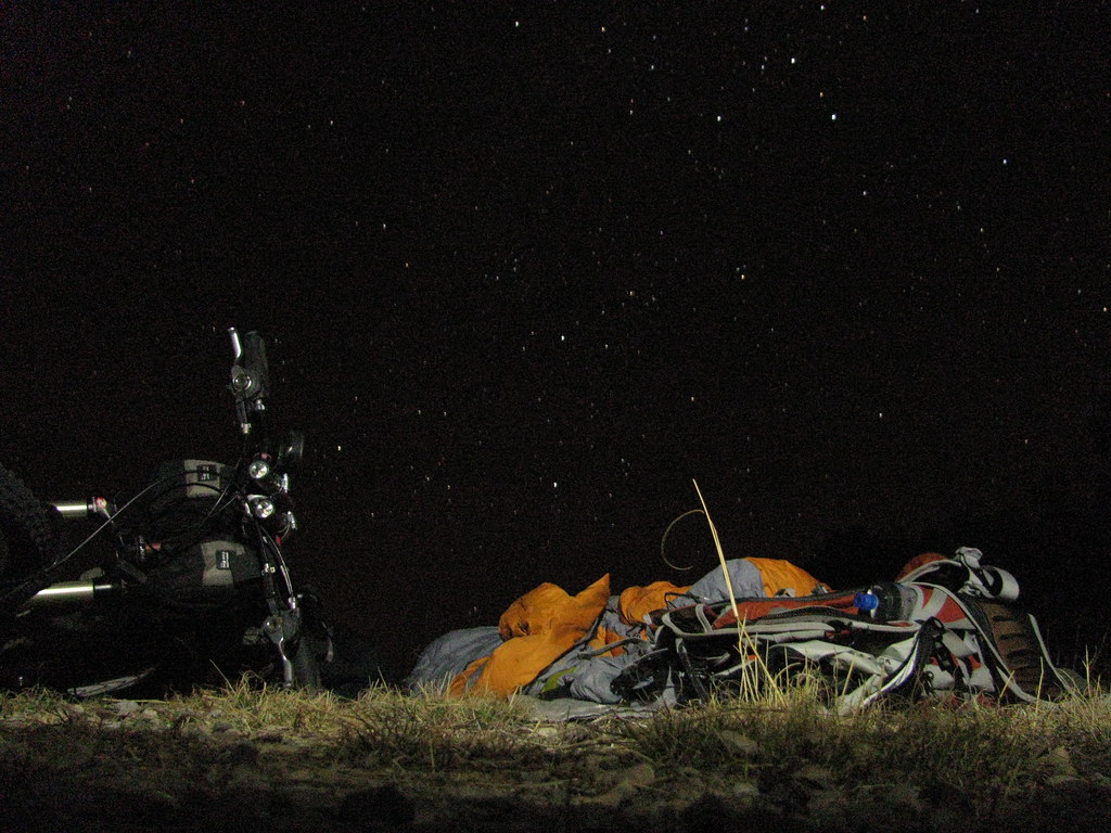
The night sky was spectacular, something you can only experience out in the middle of nowhere
Day 1
13 hours, 75 miles
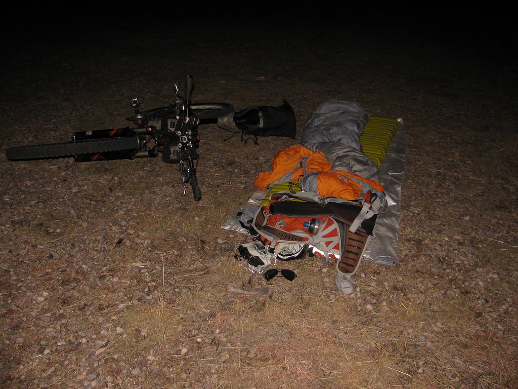
I woke up the next morning a little cold with frost on the sleeping bag but otherwise I was feeling good and ready to go. The first challenge of the day would be the canelo hills, infamously known for their hike-a-bike potential. They certainly lived up to that reputation and pretty soon I found myself in a regular rhythm: push up a hill, fly down the backside, repeat.
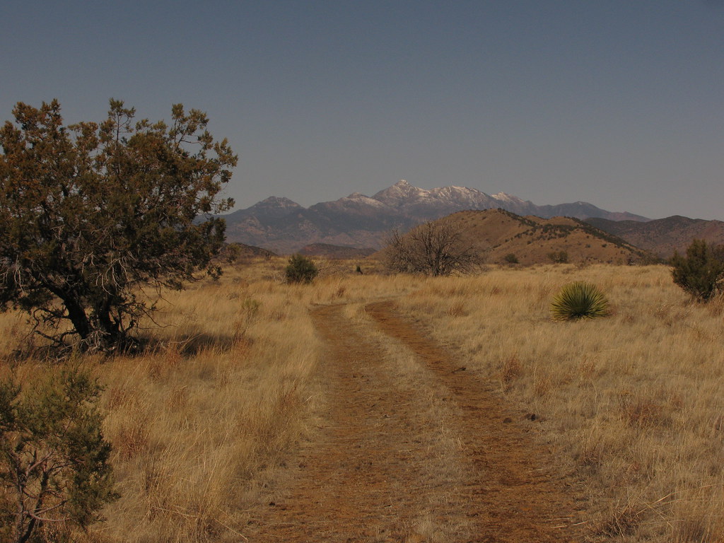
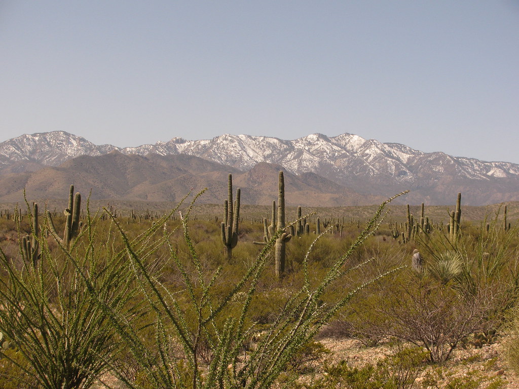
Halfway through the hills I was rewarded with a fast flowy section through knee high grassland
Water Crossing! Water would be the theme of this race as it was everywhere, all the streams and most of the washes that I encountered were flowing. A welcome sight in the desert of southern arizona.

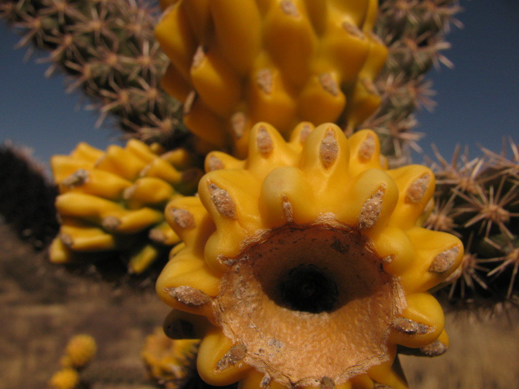
The desert was coming alive with all this water
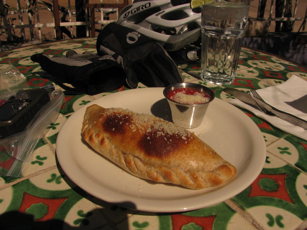
Finally after 7 hours of riding and a little bit of bonking I made it to patagonia and headed straight to the velvet elvis for a couple of well earned calzones. While I was there I ran into a lady that had ridden the great divide mountain bike route and was in town to do some training, we talked about bikepacking for a good while until I finished eating and it was time to move on.
I stocked up with rice crispy treats, redvines, granola bars etc. at the general store in patagonia and headed around the western side of the santa ritas to detour around the wilderness area that the azt cuts through. I had ridden this part of the route in reverse last october and was glad to find that the going was much easier northbound.
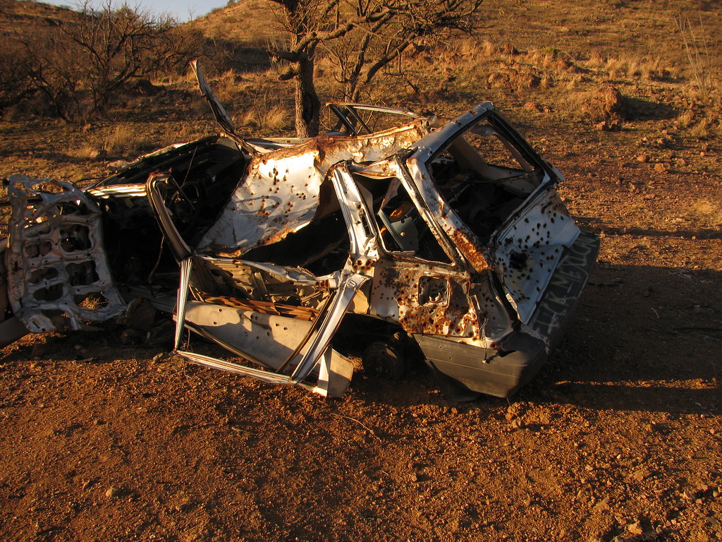
I was entering hillbilly country. How did I know that? The abandoned cars that were used for target practice may have given it away.
I reached the Smithsonian at sunset and it was fully dark by the time I got to elephant head, time to put on lights and keep going. I refilled my water at madera canyon, flew down the paved road and started to head up box canyon rd. with the goal of camping at the azt trailhead. In the end fatigue crept up and I crashed on the side of box canyon rd. setting my alarm for an early start the next morning
Day 2
12 hours, 75 miles
I woke up at sunrise thinking that my alarm was not working (it would turn out that the alarm does work but wasn't loud enough to wake me up at any time during the race). A quick warm up riding up box canyon rd. and I was ready to hit the AZT again. This section has always been fun to ride and today was no different. This section of trail saw the reappearance of rocket cow, I didn't feel so bad once I realized that she had led me down the wrong trail. Word to the wise, don't follow cows.
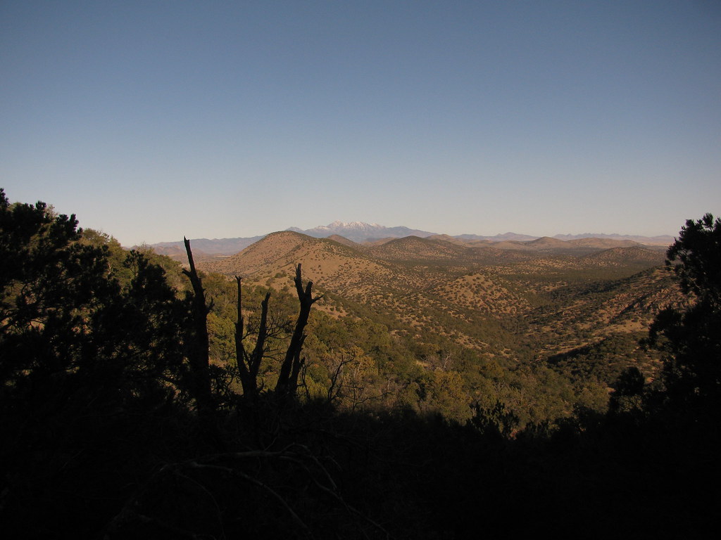
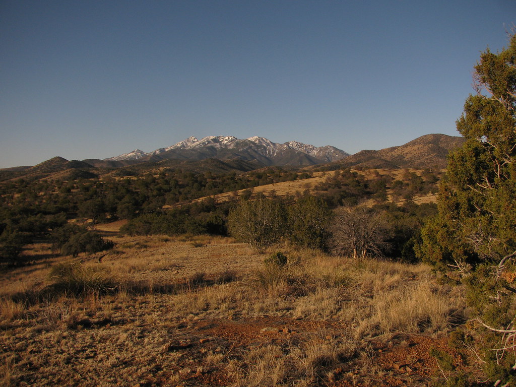
Looking back on the santa ritas I could finally see that I was making progress.
Just before the I-10 crossing I ran into Tim as he was heading out to do a 4 day bikepack of his own, we chatted about the trail and he informed me that the dude ranch in colossal cave might not be serving food as the flowing wash had deterred customers in their vans and sedans from visiting.
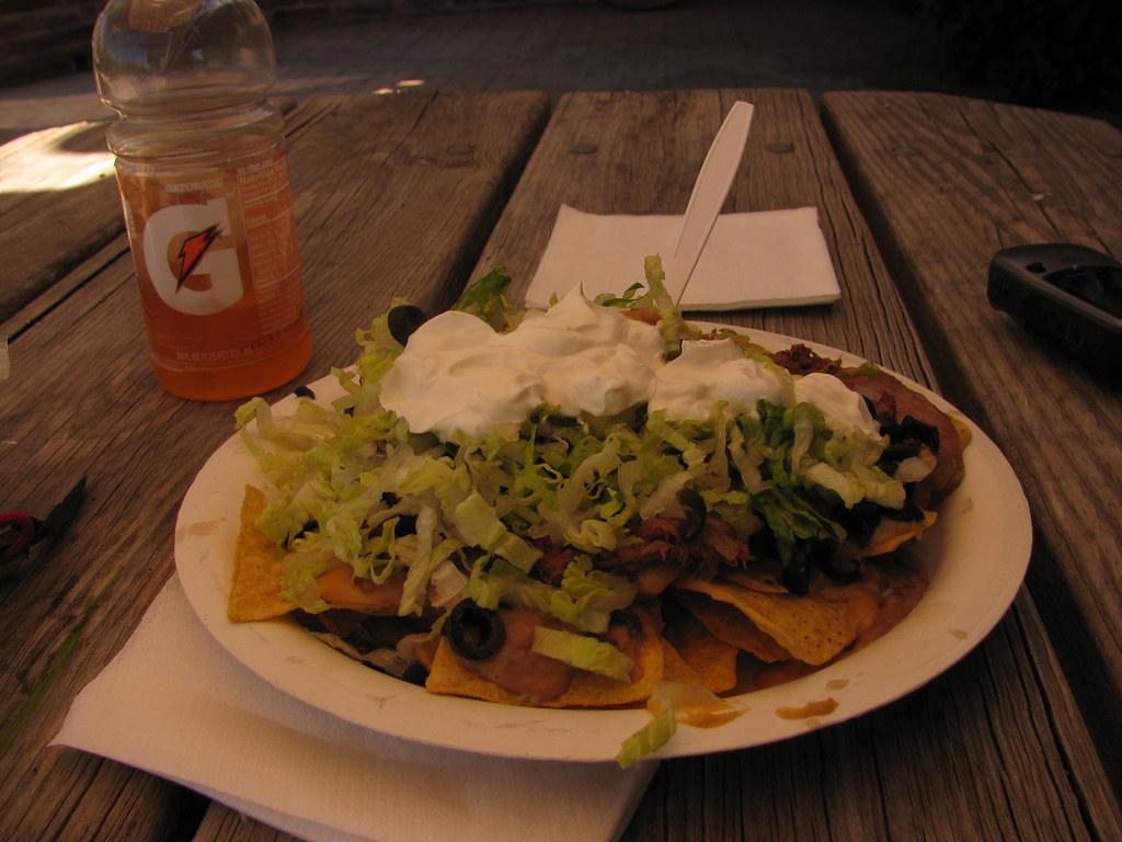
Luckily for me it was open and I ordered the largest item on the menu: Super nachos. I was asked if I was sure that I wanted them as they normally fed 3 people.
The ride into tucson with that food baby was by far the low point of the trip, my back was giving out and I had the worst saddle sore in recent memory. The thought of how easy it would be to bail out for home was overwhelming me but after a stop at safeway where I stocked up on painkillers, heat wrap, bag balm and a bag of granola (which by the way is my new favorite bikepacking food) I decided it would be best not to make any rash decisions until the next morning. One long ride up reddington pass later I found myself a place to crash for the night, only to be spotlighted by some 4-wheelers 30 minutes later. Grrr...
Day 3
10 hours, 75 miles
The next morning arrived and to my surprise I had no more saddle sore and little back pain, I was back in the race and for the first time I opened myself to the possibility that I might finish this monster. I could not continue on the normal route up and over mt. lemmon as it was snowed in. That left me no choice but to turn east on a detour that would take me around the mountain, adding miles and somehow keeping a similar amount of climbing as the normal route did.
More water crossings
The north face of lemmon, over halfway done!
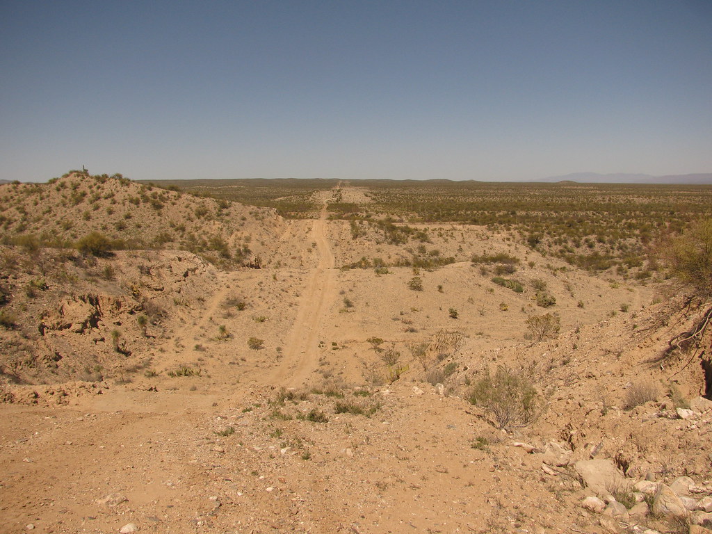
The detour led me to some gasline, whenever you draw a straight line in hill country expect to do a lot of climbing
I rejoined the trail near oracle and decided it would be best if I got a good nights rest in a hotel to allow for a strong push to the finish. So it was off the the chalet where a good meal and a warm bed awaited me.
Day 4
17 hours, 100 miles
The hotel room was by far the best decision I had made all race. I got started at 4:30 and by sunrise I had crossed the highway and was getting started on the AZT headed toward antelope peak. I had ridden this trail as part of the antelope peak challenge just a couple of months ago and yet it was completely unrecognizable. The rain had caused the trail to become completely overgrown and in some places the trail had disappeared entirely. I found myself blindly following the gps track in several places in order to stay on course.
More gasline, yay!

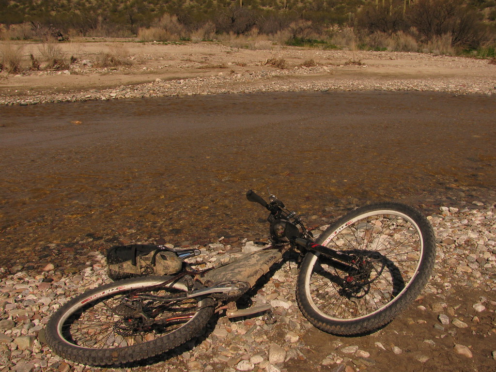
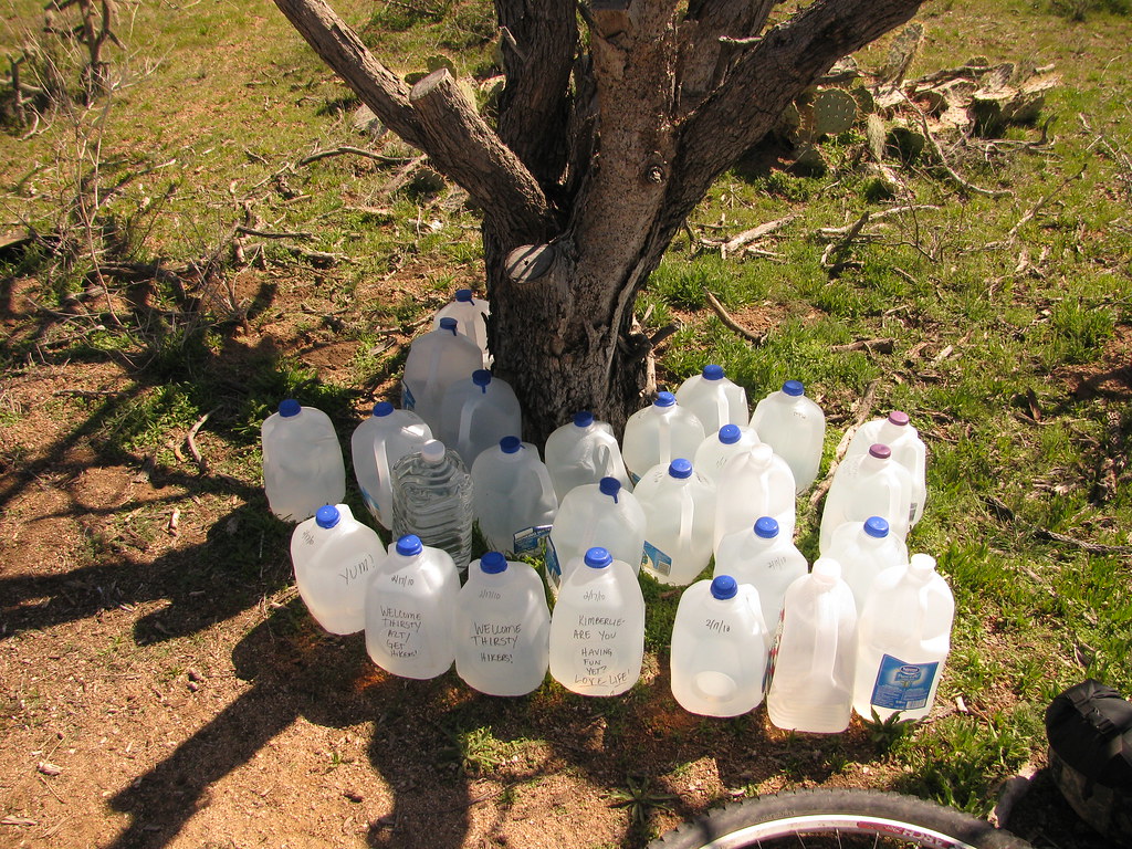
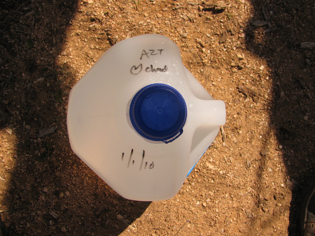
I refilled my water at the water cache and got started on the fast descent down to the gila.
Thanks chad!!
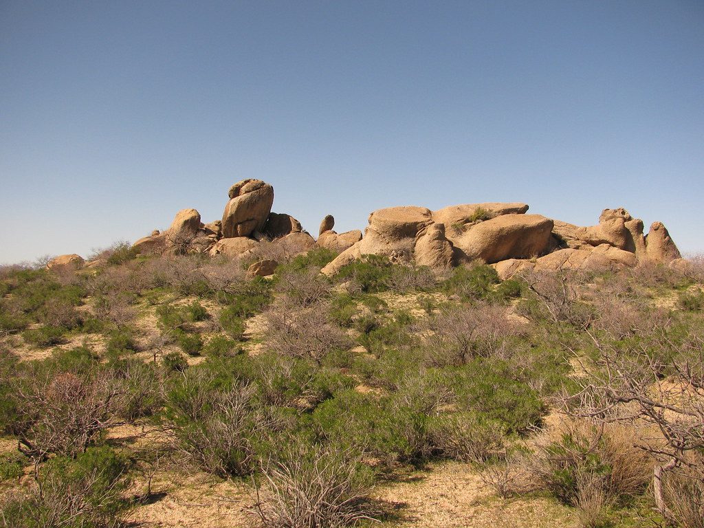
The boulders section was a lot of fun
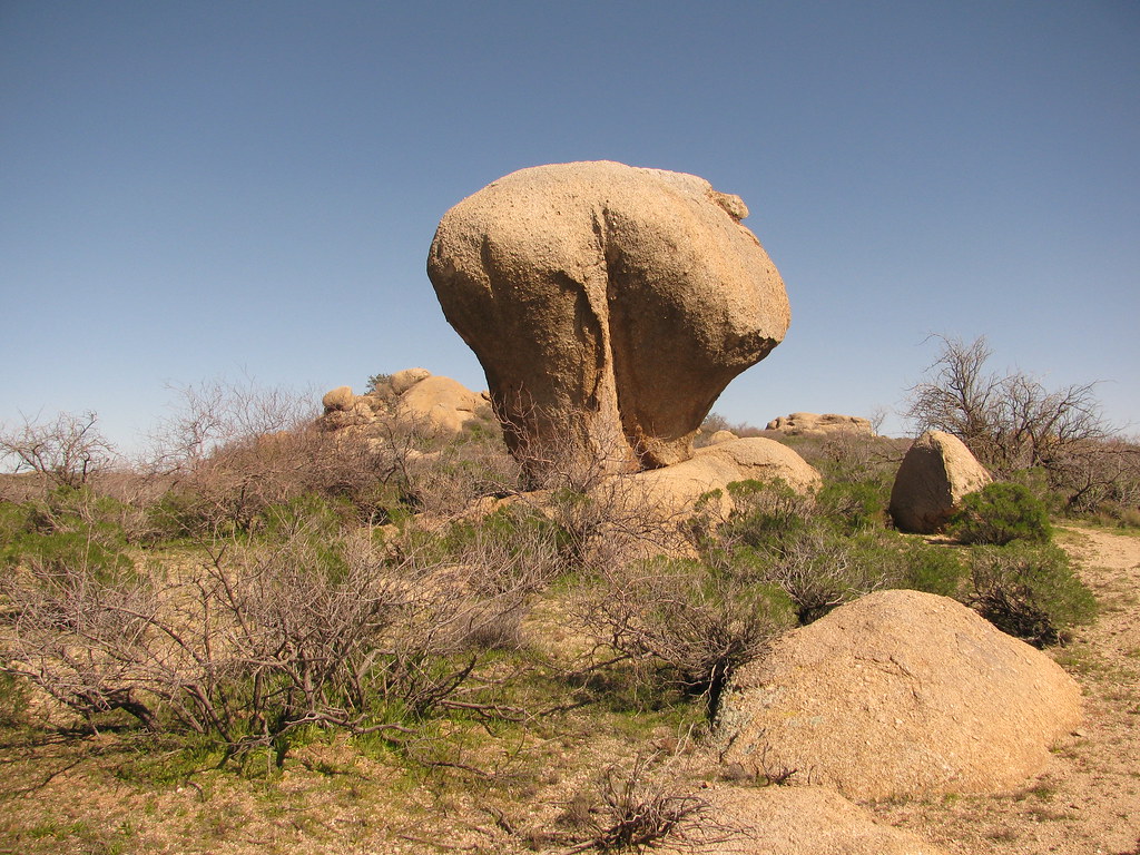
I call this one "the mooner" see if you can tell why
The sun was setting as I waded across the gila river, all I could think was "no more water crossings just 20 miles and 2000ft of climbing left and I will be done". That statement turned out to be only partially correct.
As I was entering box canyon for the final section I thought it was strange that all the 4-wheelers that were leaving were wishing me luck. One family in a rhino stopped and asked me where I was headed, when they heard I was riding up the box they replied that there was serious water in box canyon and that they could not see me making it with "just a bike".
I shrugged off the comment, after all I had been encountering water all race long and had just forded the gila a few minutes ago. How bad could it be? I found out a few minutes later.
The serious water wasn't crossing the road it was the road!!!
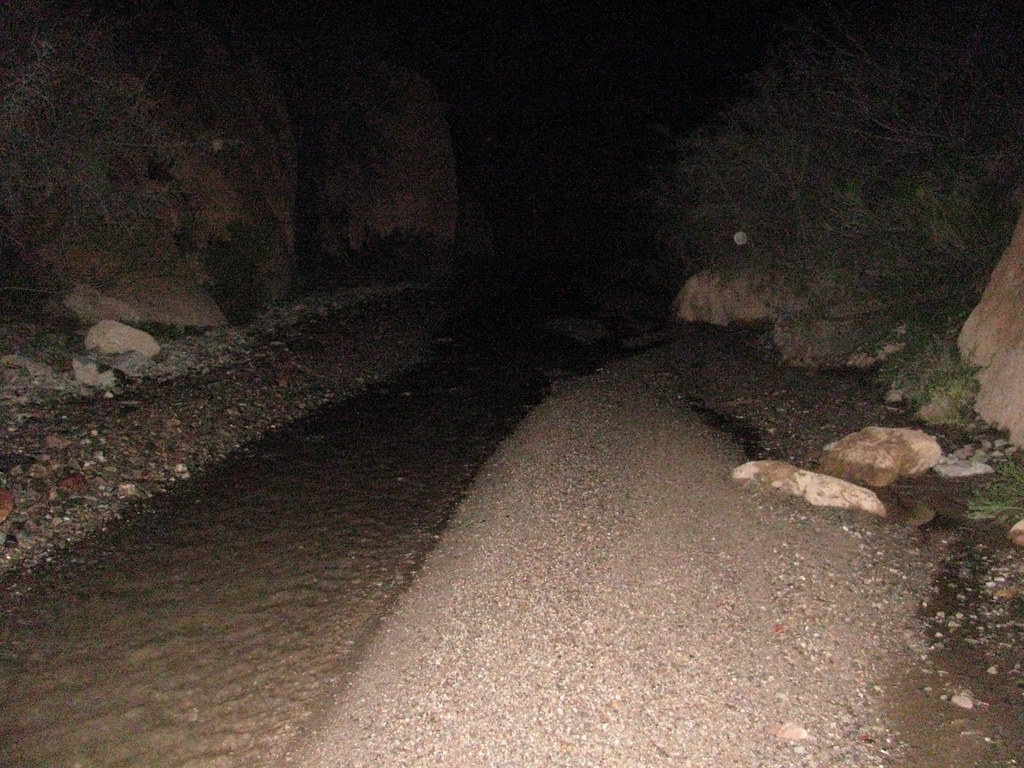
It took me a few minutes to stop freaking out (I'm riding my bike up a creek!!!) and realize that this was actually a lot of fun. The water was only a couple of inches deep at its deepest point and riding in the water was faster than the sand on the edges.
The creek was exactly what I needed at that point, instead of staring at my gps waiting for the miles to click off I was focused on picking my line and having fun doing it. So much fun in fact that I decided to play a game that I call "how long can I go without getting my feet wet?"
The rules are pretty simple:
1. Don't get your feet wet
The rules were quickly amended to include:
2. Incidental splashing from tires doesn't count
I kept playing the game until the creek ended 4 miles up box canyon (didn't get my feet wet!), and left the creek behind with a second wind to push me to the finish.
The wind only lasted halfway up the last hike-a-bike, by the time I reached the final descent down the picketpost singletrack I was spent. It was amazing how long those last 5 miles seemed, I had to pep-talk myself off the mountain to the finish.
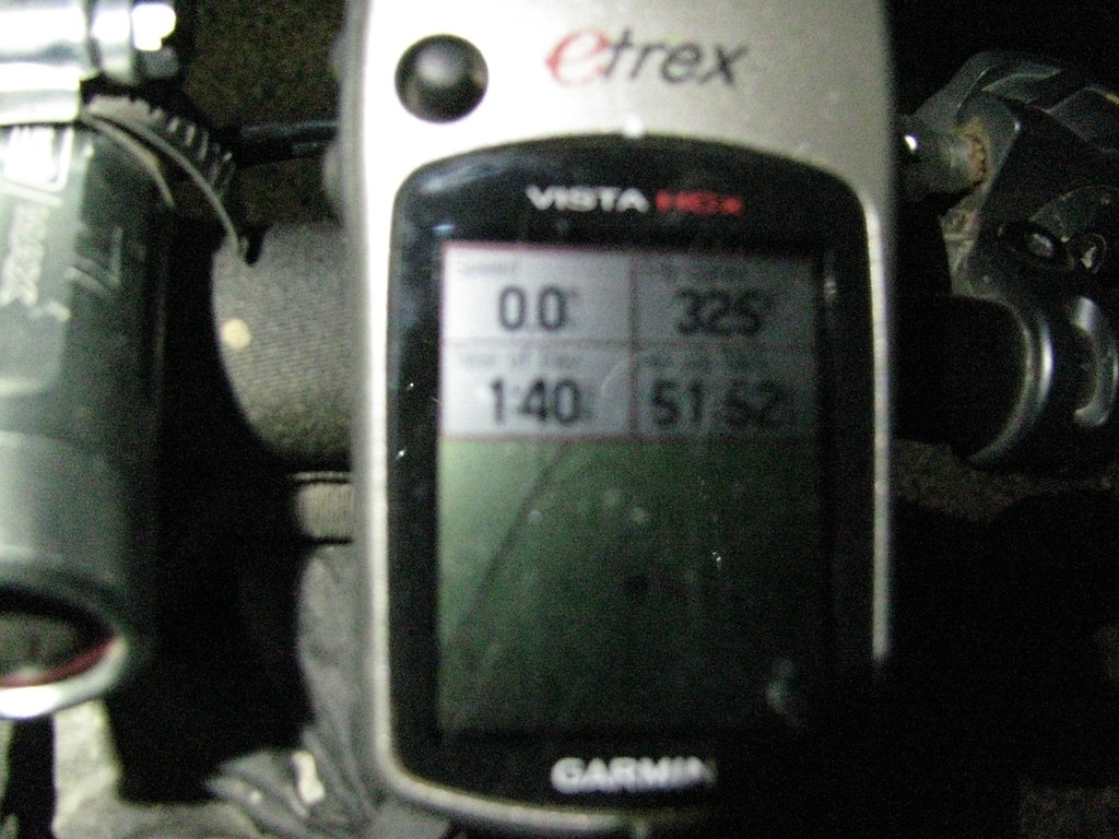
And then it was over. I rolled into the parking lot at 1:40 am, 3 days 19 hours and 10 minutes after my start at parker lake. There was nothing left to do but take a few pictures and crash for the night.
The next morning I rode into superior and ate breakfast while waiting for Briana to pick me up. We were back in tucson after only a couple hours of driving. 24 hours of riding one way, 2 hour drive back. Crazy.
Final statistics
Start time: 6:30am friday morning
Finish time: 1:40am tuesday morning
Total time: 3 days 19 hours 10 minutes
Moving time: 51 hours 52 minutes
325 miles
~40,000 feet of climbing
The end.